


The Rhinogydd 700s Circular: The Toughest Walk in Wales?
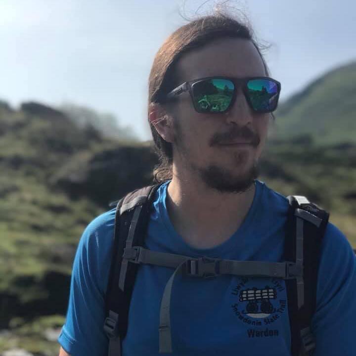
- Jacob @ Mountain Craft
- Mar 24
- 2 min read

If you are looking for a groomed trail, stop reading now. The Rhinogydd range is widely regarded as the toughest and most uncompromising mountain environment in Eryri. This is a journey into the "Badlands" of Wales, a landscape of prehistoric savagery and silence that few casual walkers ever experience.
We use this specific circular route to teach advanced movement skills on broken ground. The terrain is legendary for its difficulty, defined by deep heather, pathless terrain, and rocky steps that require constant concentration. While the stats say 1,350m of ascent, the incredibly heavy going nature of the ground makes it feel significantly harder. It is a pure, raw mountain territory that rewards high fitness and mental resilience with absolute, uninterrupted solitude.
The Route Stats
Mountains: Rhinog Fawr, Rhinog Fach, Y Llethr, and Diffwys (bonus: Diffwys West Top)
Distance: 17.8 km (Easily 20km on the ground taking into account complex and unclear lines)
Ascent: 1,350m (Feels like more)
Estimated Time: 8 to 9 hours
Terrain: Deep heather, pathless broken ground, rocky steps, and demanding micro-navigation.
The Route Overview
Starting at the dead-end road at the head of Cwm Nantcol, this route is a relentless physical test that links the four 700-metre peaks of the range. The first and last couple of hours are practically trackless, requiring you to thread your way through complex lines of crags, heather and bog. Even on the higher ground, the paths that do exist are rough, hard-won, and demand constant concentration.
When you do reach the summits, the reward is an immense 360-degree gallery featuring the 3000s to the North, Cadair Idris to the South, and the Irish Sea to the West. Keep an eye out for feral mountain goats and ravens, they are the only locals you are likely to see.

Get the GPX & Map
Do not attempt this route in poor visibility without reliable navigation. I have mapped the exact line we use to link these four peaks safely over on HiiKER.
View and download the route here: Rhinogydd 700m Summits Circular
Need offline maps? Upgrade your phone's navigation with my Mountain Craft partner link to get a massive discount on HiiKER Pro+. It is normally £41.99 for the year, but my link drops it to a special offer of just £14.95 (that is just £1.24 a month) for full offline OS mapping. Claim the Mountain Craft discount here.
Want to do this with Mountain Craft?
Navigating the Rhinogydd is a serious undertaking. If you want to experience this raw wilderness while learning advanced movement and navigation skills from a professional, you can join us.
Join a Group Journey: We have open small-group dates running on Sunday 24th May (Only 1 space left!) and Friday 28th August 2026 for £75pp.
No dates available? Book me for a Private Guiding Day (from £275) and we can tackle it at your own pace.
See you on the hills,
Jacob @ Mountain Craft

